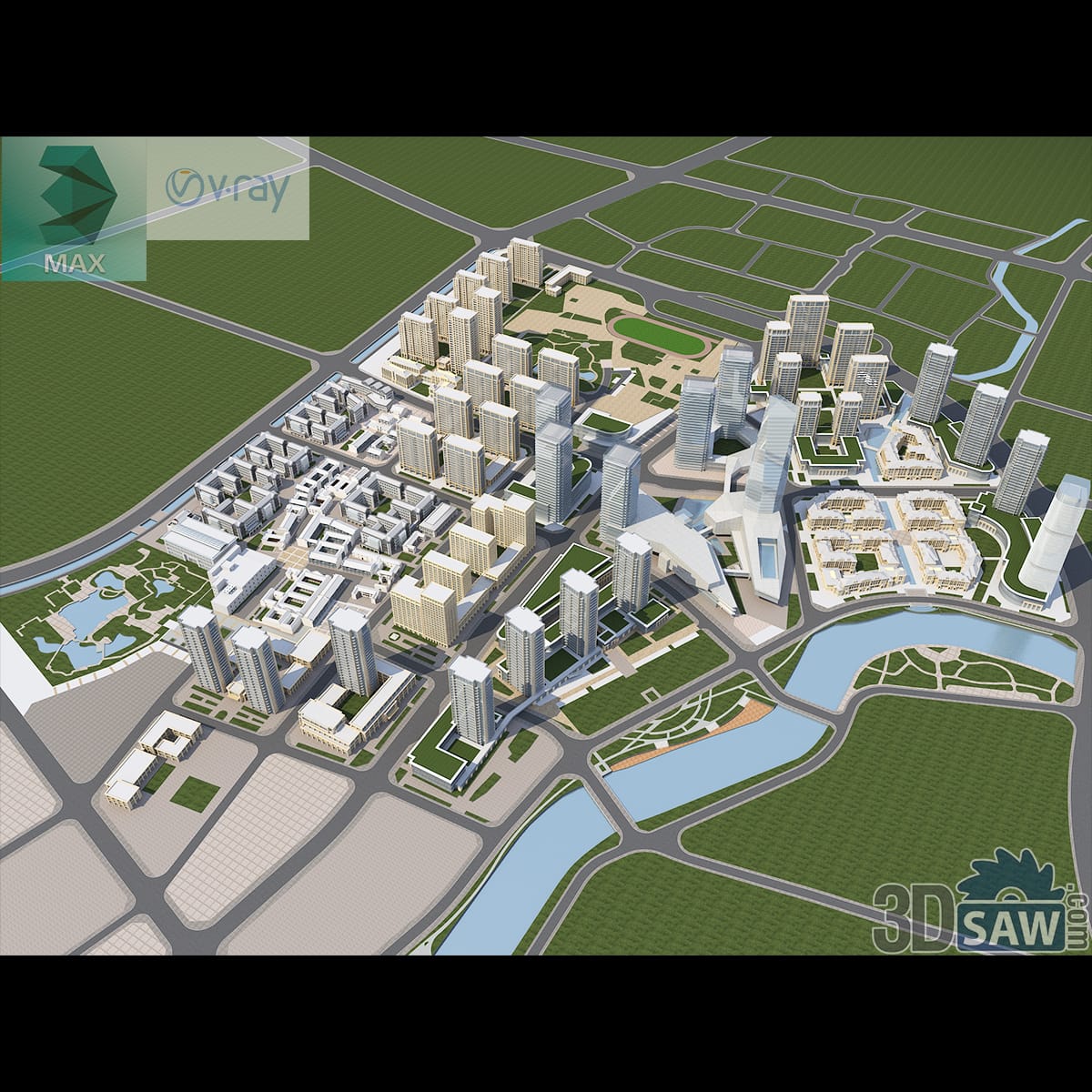
3ds Max City District Masterplan Aerial Model
A bird's-eye masterplanning model of a city district: clusters of residential towers and low blocks laid out along curving boulevards, with a winding river, green parks and farmland framing the edges. Modeled in 3ds Max (.max) with V-Ray and a full massing layout. A planning-scale scene for urban design and architecture visualizations.
MX-785Free